
Fall of Romeville

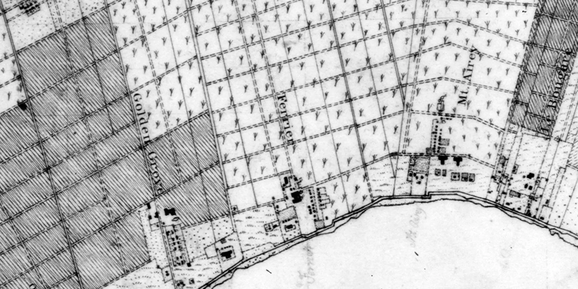
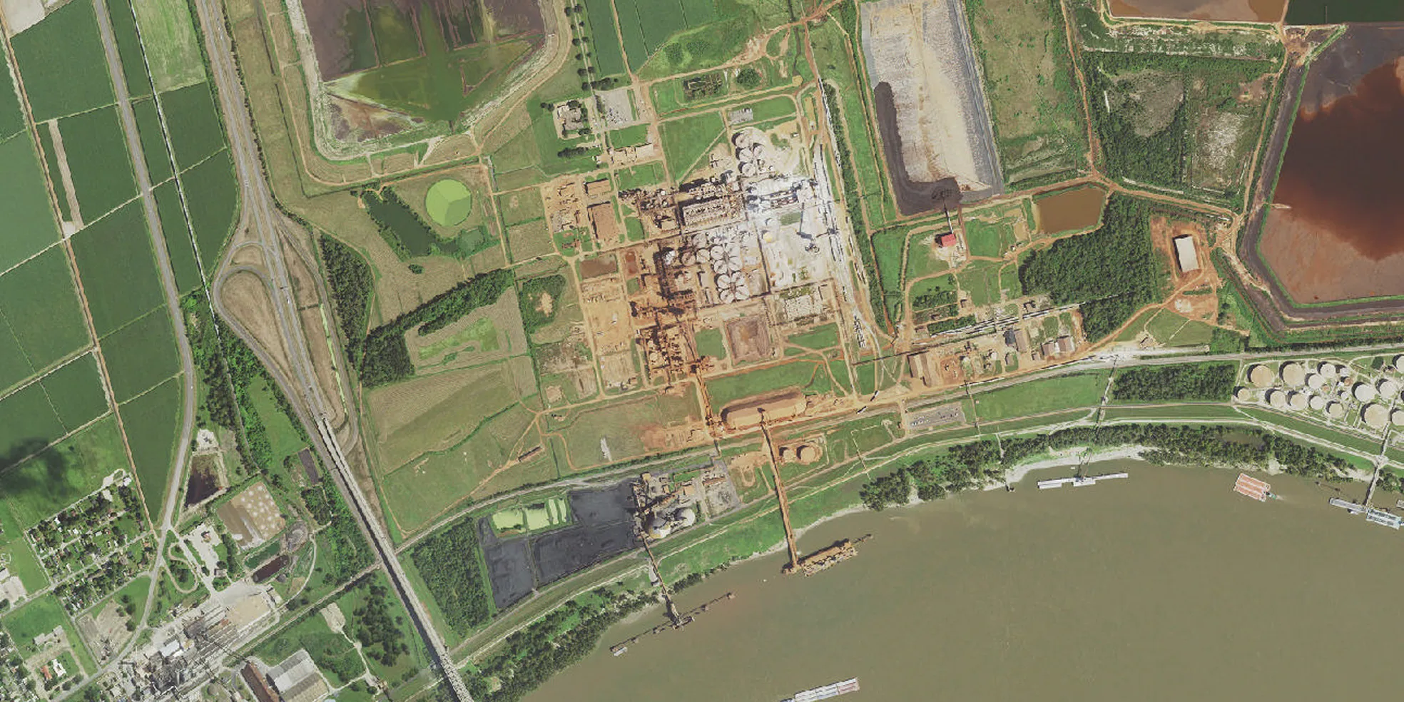
Drag the bar to explore this map over time.
Rezoning threatens historic community
Exploratory Map

Map specific property and proximity conflicts
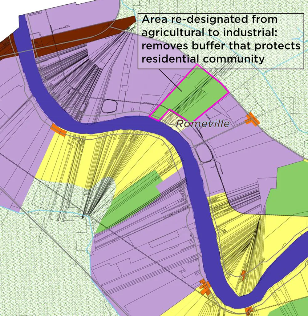
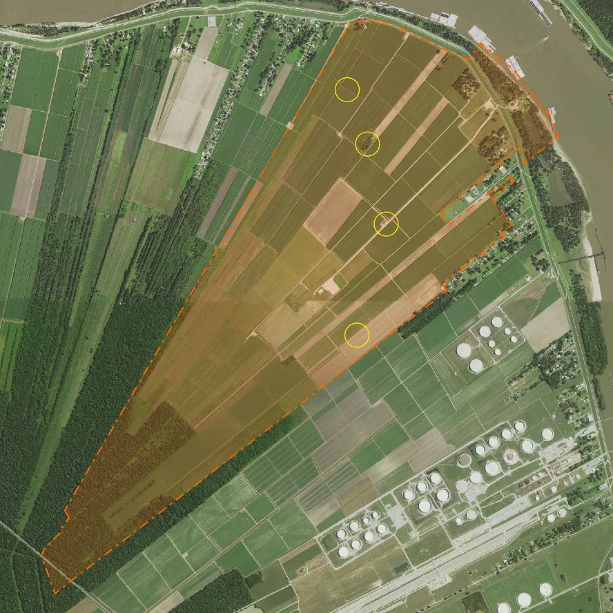
The map was created as part of a broader effort to raise awareness and organize public attendance at the public meetings. The primary issue is the replacement of a protective agricultural buffer, converting that to industrial use. The area to be rezoned includes two historic burial grounds, one historic undocumented site associated with Colomb plantation, and the other actively still in use as Pleasant Hill cemetery. The map also highlights community facilities that would normally be considered part of the “Impact Area”, i.e that would be endangered or put into close proximity to new potential industry. A different issue is that several of the property owners who own land in the area to be rezoned were not given individual notice of the change, including trustees of the Harriet Jones estate, a family property first bought by a black woman in the Reconstruction period after the Civil War. This is marked clearly on the map to show that their land is being rezoned without their consent.

Mobilize community for council hearings
Two public hearings were held by St James Council in June 2026, where the public was given a chance to comment on the rezoning actions. The community was successful at mobilizing a strong turnout of community voices who raised their concerns directly before the council body. While the majority of the comments opposed the rezoning, there were also some who voiced support. The Council nearly split on the issue when they voted 4-3 to approve the rezoning. Unsatisfied with that result, one group of community residents and advocates is seeking to block the rezoning in court, because the parish has not yet satisfactorily addressed the deeper issue around the inequitable land use planning framework, of which this action is but a continuation.