About
Hidden Landscape is an independent planning research consultancy that uses maps as the primary method of investigation and communication.
How I Work
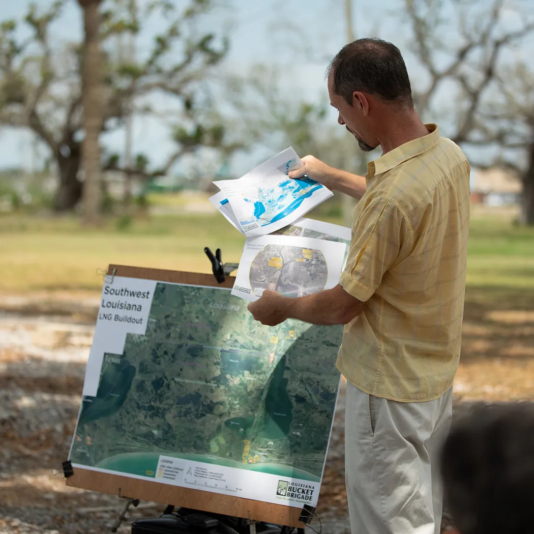
Effective work begins through developing relationships at the community level. Maps are a wonderful language for building trust, by translating opaque and complex information into immediately understandable visuals. Maps help organizers build bridges and become more effective messengers.
Vision for the Work
I help translate complex data into visuals that people can understand, in order to tell a clear story about harmful or problematic developments. Maps drive media engagement, essential for organizing and movement building, and underpinning legal research.
Community Power
Visual storytelling tools help residents understand and act on complex environmental issues.
Policy & Legal Impact
Supports lawsuits, preservation efforts, and environmental review with defensible spatial analysis.
Credible Expertise
Provides trusted, fact-based maps and research that stand up to scrutiny in public and legal forums.
Why This Work Matters
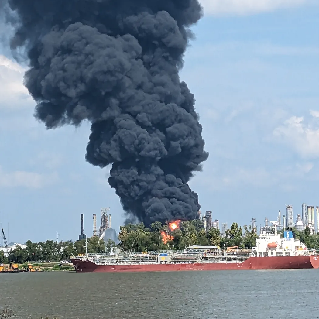
We are living on the precipice of profound shifts driven by climate change impacts. Louisiana is on the front lines, where a whole ecological landscape is vanishing before our eyes at an unprecedented rate, and also and under constant capital pressure to further develop and exploit the fossil gas resources that are accelerating these monumental shifts.
I moved south to New Orleans after Katrina to help plan the city's housing recovery. It was only after the Deepwater Horizon disaster in 2010 that I was shocked into awareness by a much larger unfolding ecological disaster of the petrochemical industry's negligence Since then, I've dedicated my planning and map design skills to helping communities in Cancer Alley resist further expansion by the petrochemical-industry.
Louisiana's history of extractive economies - enslavement, sugar, timber, oil & plastics sit at the nexus of past, present and future crises, making it a power place to study and support frontline descendant communities seeking justice and accountability for the damages heaped upon our ecologies.
About Justin
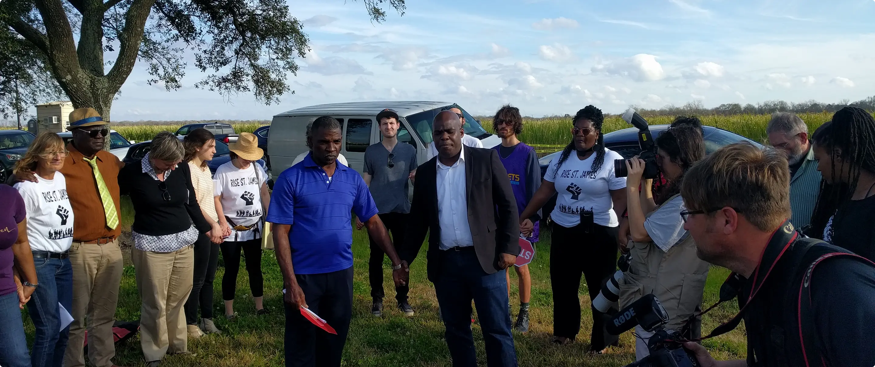
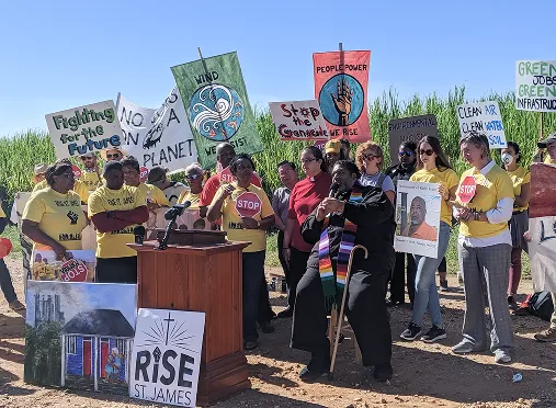
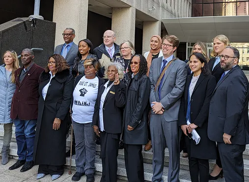
Justin Kray is a cartographer, planner, and data strategist working to confront environmental injustice on the Gulf Coast. His maps have helped halt major industrial projects in St. James and St. John the Baptist parishes, the core of Cancer Alley.
With expertise in zoning, land use, permitting, and GIS, Justin provides research and spatial analysis that strengthen grassroots advocacy and legal action.
His work has supported groups including the Descendants Project, RISE St. James, Inclusive Louisiana, Earthjustice, and Center for Constitutional Rights. Justin authored Plan without People with Louisiana Bucket Brigade, a report exposing discriminatory impacts in St. James Parish’s master planning.
He also served as a master plan analyst for the City of New Orleans and managed BlightStat, an award-winning performance management and data transparency program tracking post-Katrina housing recovery.

Shape the Future